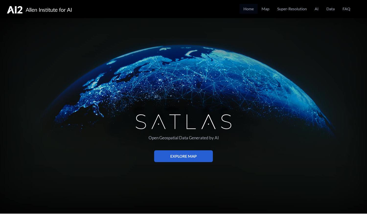
Satlas
About Satlas
Satlas is a groundbreaking platform that enables users to explore changing planetary landscapes through AI-enhanced satellite imagery. Targeting researchers, developers, and environmentally-conscious users, Satlas presents geospatial data revealing trends in infrastructure, energy, and forest cover, ensuring informed decision-making and environmental awareness.
Satlas offers free access to its geospatial datasets, with no subscription fees. Users can download satellite imagery and related data for offline analysis. While there are no specific pricing tiers, the platform emphasizes easy accessibility, making advanced satellite analysis available to everyone without financial barriers.
Satlas features an intuitive interface designed for seamless navigation and enhanced user experience. With clearly defined sections for data exploration, AI model insights, and downloadable content, users can easily find relevant information. The layout promotes user engagement while showcasing the platform's cutting-edge AI capabilities effectively.
How Satlas works
Users begin their Satlas journey by accessing the online platform, where they can navigate various features seamlessly. Through interactive maps and data filters, users explore satellite imagery and identify changes in environmental factors. With AI models enhancing resolution and providing in-depth analysis, users gain valuable insights into planetary transformations effortlessly.
Key Features for Satlas
AI-Enhanced Satellite Imagery
Satlas revolutionizes environmental monitoring through AI-enhanced satellite imagery, offering high-resolution analysis of planetary changes. This innovative capability empowers users to visualize trends in infrastructure growth, deforestation, and renewable energy advancements globally, allowing for informed decision-making and research development.
Open Geospatial Data Access
Satlas provides free access to comprehensive geospatial datasets generated by AI models. Users can download extensive satellite imagery and corresponding data for offline analysis, supporting research and enabling individuals and organizations to leverage this valuable information to track environmental changes effectively.
Super-Resolution Technology
Satlas employs advanced super-resolution technology, transforming low-resolution satellite images into high-quality visuals. This unique feature enhances user experience by allowing detailed examination of various geographic areas, making it easier to observe significant changes and developments in environmental infrastructure.
You may also like: